Business
Planning Schemes
Gladstone Regional Council Planning Scheme
Local Government Infrastructure Plan
Superseded Planning Schemes
Gladstone Ports Corporation Land Use Plan
Queensland Government Development Areas
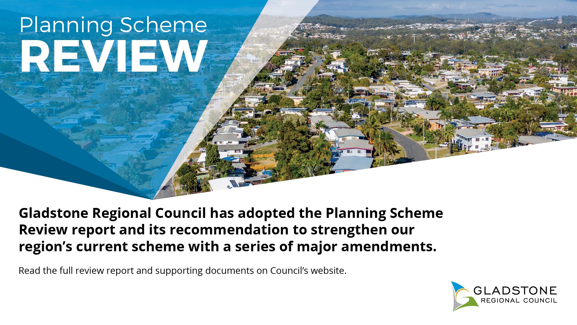
On 6 October 2015, Gladstone Regional Council adopted the Gladstone Regional Planning Scheme (which commenced on 12 October 2015). The Regional planning scheme replaces the previous planning schemes for Gladstone City, Calliope Shire and Miriam Vale Shires, providing a consolidated planning document for all planning and development across the region.
However, within the Gladstone Regional Council area, development may also be managed by the Gladstone Ports Corporation and/or the Coordinator-General. This is due to the Gladstone Ports Corporation managing land use on Strategic Port Land and the Coordinator-General managing land use within the State Development Area.
In addition, Economic Development Queensland (EDQ) have the ability to declare Priority Development Areas (PDAs). Currently two development areas existing within the Gladstone Region including:
- Hillclose Estate, Clinton; and
- Tannum Blue, Tannum Sands
Gladstone Regional Council
Our Place Our Plan
Local Government Infrastructure Plan
- Local Government Infrastructure Plan
Adopted by Gladstone Regional Council on Tuesday 6 March 2018 - Appendix D - LGIP checklist
- Appointed Reviewer Statement
- Schedule of Works Models
Adopted Infrastructure Charges
Adopted infrastructure charge resolution (no.1) - 2015 - amendment no. 2
Applies to development applications lodged on or after Wednesday 8 March 2017
Adopted infrastructure charges resolution (no.1) - 2015 - amendment no. 1
Applies to development applications lodged on or after Wednesday 21 December 2016
Maps - The maps below apply to both amendments above
Adopted infrastructure charges resolution (no.1) - 2015
Applies to development applications lodged on or after Wednesday 4 November 2015
- Map 2 - Gladstone Regional Council Charge Areas
- Map 2a - Gladstone
- Map 2b - Calliope
- Map 2c - Beecher/Burua
- Map 2d - Boyne/Tannum
- Map 2e - Wurdong/Benaraby
- Map 2f - Agnes Water
- Map 2g - Seventeen Seventy
- Map 2h - Mount Larcom & Yarwun Industrial Area
- Map 2i - Miriam Vale
- Map 2j - Turkey Beach
- Map 2k - Bororen
- Map 2l - Lowmead & Rosedale
Adopted infrastructure charge resolution (no. 1) - 2014
Applies to development applications lodged before Wednesday 4 November 2015
Maps
- Map 1 - Priority Infrastructure Area
- Map 2 - Calliope Infrastructure Charge Area
- Map 3 - Calliope Infrastructure Charge Area - Calliope, Beecher, Tannum Sands, Boyne Island, Benaraby Wurdong Heights
- Map 4 - Calliope Infrastructure Charge Area - Mount Larcom & Yarwun Industrial Area
- Map 5 - Calliope Existing Trunk Road Network
- Map 6 - Calliope Proposed Future Trunk Road Network
- Map 7 - BITS Proposed Future Trunk Road Network
- Map 8 - Calliope Proposed Future Footpath Network
- Map 9 - Calliope Existing Trunk Water Network
- Map 10 - Calliope Proposed Future Trunk Water Mains
- Map 11 - T/B/B/W Existing Trunk Water Network
- Map 12 - Tannum Boyne Benaraby Wurdong Proposed Future Trunk Infrastructure
- Map 13 - Tannum Boyne Benaraby Wurdong Propose Future Trunk Infrastructure
- Map 14 - Mount Larcom Existing Trunk Water Network
- Map 15 - Mount Larcom Future Trunk Water Network
- Map 16 - Calliope Existing Trunk Sewer Network
- Map 17 - Calliope Proposed Future Sewer Trunk Infrastructure
- Map 18 - BI/TS Existing Trunk Sewer Network
- Map 19 - BI/TS Proposed Future Trunk Sewer Network
- Map 20 - Calliope Existing Parks and Reserves Network
- Map 21 - BI/TS & Calliope Existing Parks and Reserves Network
- Map 1 - Gladstone Priority Infrastructure Area
- Map 2 - Gladstone Infrastructure Charge Areas
- Map 3 - Gladstone Existing Trunk Road Network
- Map 4 - Gladstone Proposed Future Trunk Road Network
- Map 5 - Gladstone Existing Trunk Water Network
- Map 6 - Gladstone Proposed Future Trunk Water Network
- Map 7 - Gladstone Existing Trunk Sewer Network
- Map 8 - Gladstone Proposed Future Trunk Sewer Network
- Map 9 - Gladstone Existing Parks and Reserves Network
- Map 1 - Miriam Vale Priority Infrastructure Areas
- Map 2 - Miriam Vale Infrastructure Charge Areas
- Map 3 - Miriam Vale Infrastructure Charge Areas - Turkey Beach, Seventeen Seventy, Agnes Water
- Map 4 - Miriam Vale Infrastructure Charge Areas - Lowmead, Bororen, Rosedale, Miriam Vale
- Map 5 - Miriam Vale Existing Trunk Road Network
- Map 6 - Miriam Vale Future Road Network
- Map 7 - Miriam Vale Existing Trunk Water Network
- Map 8 - Miriam Vale Future Trunk Water Network
- Map 9 - Miriam Vale Existing Trunk Sewer Network
- Map 10 - Miriam Vale Future Trunk Sewer Network
- Map 11 - Miriam Vale Existing Stormwater Network
- Map 12 - Miriam Vale Existing Stormwater Network
- Map 13 - Miriam Vale Existing Parks and Reserves Network
- Map 14 - MVSC Existing Parks and Reserves Network (inserts)
Superseded Planning Schemes
On 12 October 2015 the planning schemes for the former Gladstone City Council, Calliope Shire Council and Miriam Vale Shire Council were superseded by the Gladstone Regional planning scheme.
Calliope Shire Planning Scheme
- Amendment No. 1 - took effect 12 October 2009
- Amendment No. 2 - took effect 9 August 2010
- Amendment No. 3 - took effect 27 June 2011
- Amendment No.4 - took effect 20 August 2012
- Amendment No. 5 - took effect 15 April 2013
- Amendment No. 1 - took effect 12 October 2009
- Amendment No. 2 - took effect 9 August 2010
- Amendment No. 3 - took effect 23 January 2012
- Amendment No. 4 - took effect 20 August 2012
- Amendment No. 5 - took effect 15 April 2013
- Temporary Local Planning Instrument 1/2011 - Repealed 23 January 2012 - provisions included into The Gladstone Plan as part of Amendment No. 3 (Major Amendments).
Gladstone Ports Corporation
Gladstone Ports Corporation land use plan
Queensland Government
Gladstone State Development Area Callide Infrastructure Corridor State Development Area Stanwell-Gladstone Infrastructure Corridor State Development Area
Note: Coordinator-General forms part of the Department of Employment Economic Development & Innovation.
Hillclose Estate, Clinton
Tannum Blue, Tannum Sands
Note: Economic Development Queensland forms part of the Department of Infrastructure, Local Government, and Planning.
Business

Latest CONNECT News out now
More Information


